Most leaks are found once the water has already reached the street. Ours aren’t.
A water network loses part of what it carries. Almost always underground, with no sign on the surface, for months. Until now the only way to find those leaks was to go out and search for them, section by section.
Kimedes searches for them from space.
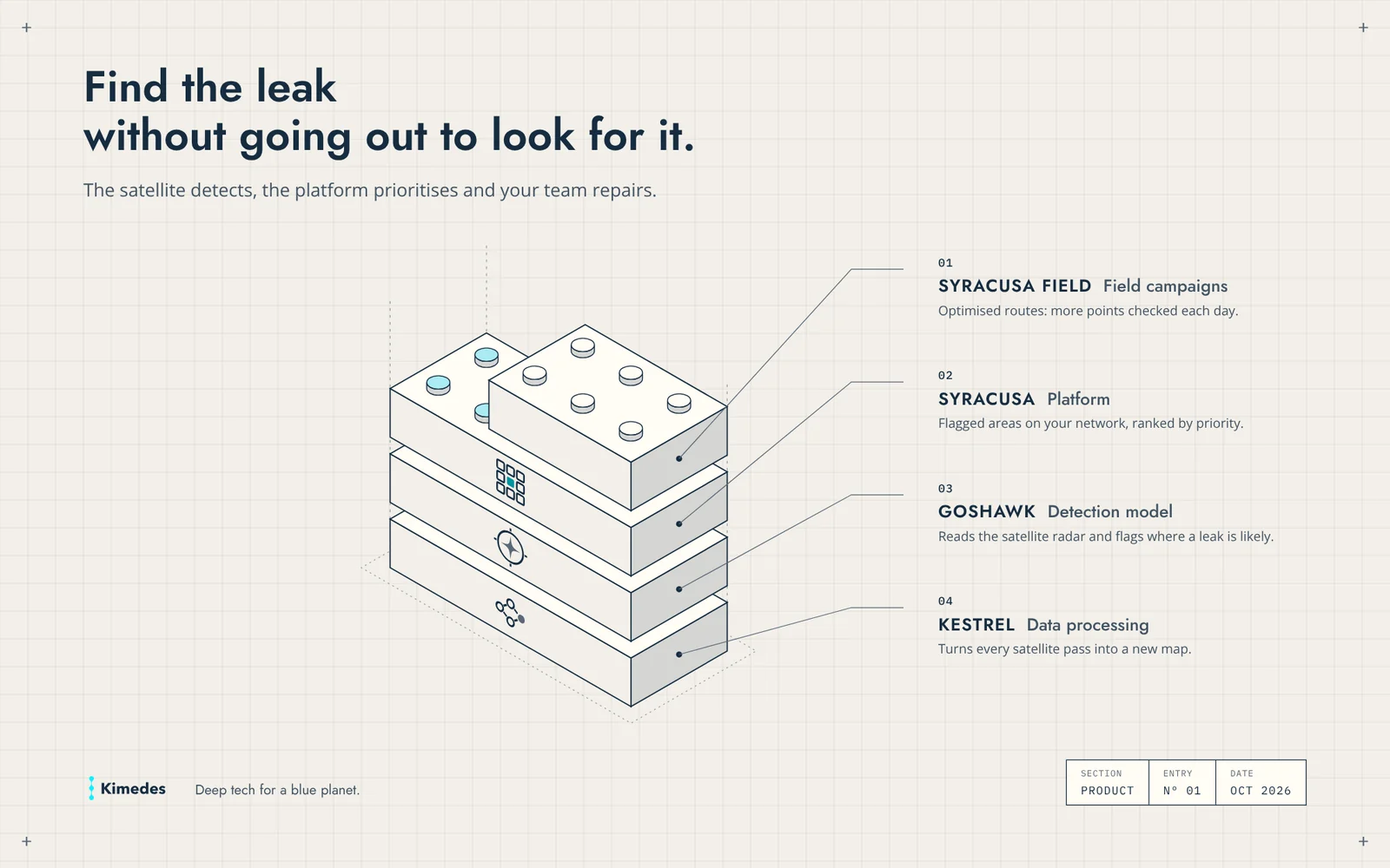
A radar satellite passes over your municipality every week and measures the ground. Our detection model, Goshawk, reads those measurements and flags the areas of the network where a leak is likely. Nothing to install in the street. Nothing to change in the network.
The result goes to Syracusa, the platform. There you see the flagged areas on your own network, ranked by priority, so you can decide what to repair first.
When it is time to go out and confirm, Syracusa Field prepares the campaign: multi-day routes, optimised to check more points each day without crossing town back and forth. This part is being rolled out with our first operators.
Underneath it all is Kestrel, our satellite data processing layer. It runs on its own and you will not see it. It turns every new satellite pass into a new map.
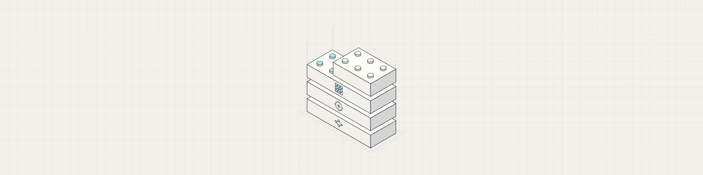
Each piece rests on the one below and automates a step that today is done by hand or not done at all. The satellite passes again, the system searches again, and your team only goes out to confirm and repair.
Together, they change where your team’s time goes. Fewer hours searching section by section, fewer clicks in front of a screen, more hours repairing. The system does the searching; people make the decisions. Every hour not lost searching is water not lost underground.
If you manage a water network, start with a three-month diagnosis. You send us your network layout, we return the flagged areas and review them with you. Nothing to install. And if you then sign up for the annual service, the diagnosis is credited.
Leaks don’t wait. Neither does the satellite.